Northern Chile · Antofagasta Region
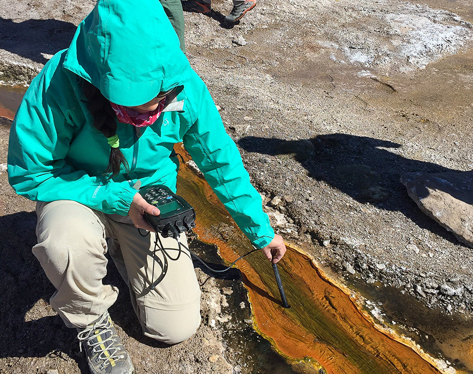
Atacama · El Tatio
Extreme gradients make it possible to study microbial communities, adaptation and the limits of life.
Extreme viruses at El Tatio
Atlas CRG · territory and evidence
Extreme environments, productive systems and communities become a network of questions rather than isolated points on a map.
From Atacama to austral Chile: Aysén and Magallanes. Also explore Rapa Nui, Antarctica and the Southern Ocean.
Northern Chile · Antofagasta Region
Extreme gradients make it possible to study microbial communities, adaptation and the limits of life.
Extreme viruses at El Tatio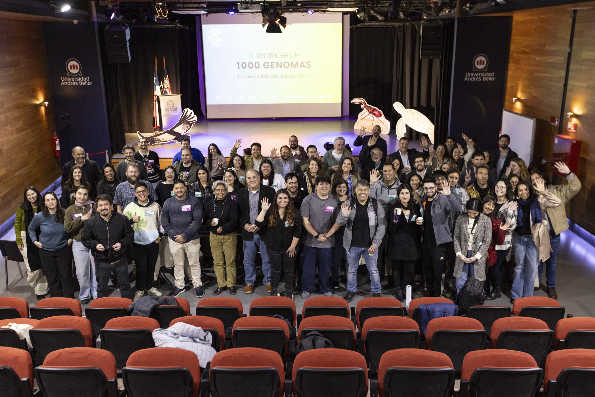
Pacific Ocean · Valparaíso Region
Genomics supports the study and conservation of endemic species through work developed with local authorities and communities.
Sequencing threatened species on Rapa Nui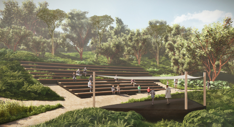
Southern Chile · Los Lagos Region
The Science and Nature Biopark brings together native forest conservation, genetic research and education with local communities.
A biopark for conservation in Frutillar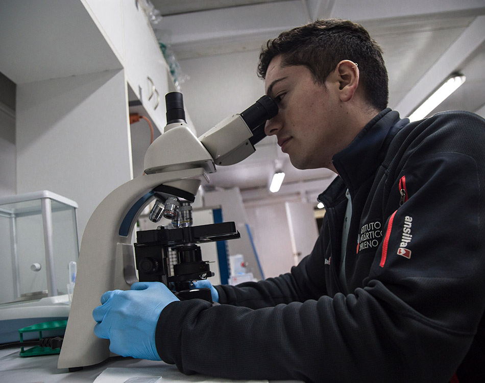
Castro and Dalcahue · Los Lagos
Students explore the genetic diversity of native potatoes, connecting science, local agricultural heritage and food sovereignty.
Chiloé students explore potato genetics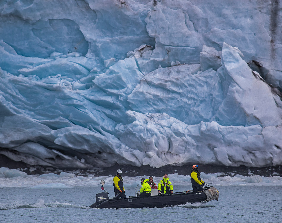
Austral Chile · Aysén and Magallanes
Seawater sampled along the Patagonian fjords reveals how temperature shapes viral communities and their role in marine ecosystems.
The hidden viruses of Chilean Patagonia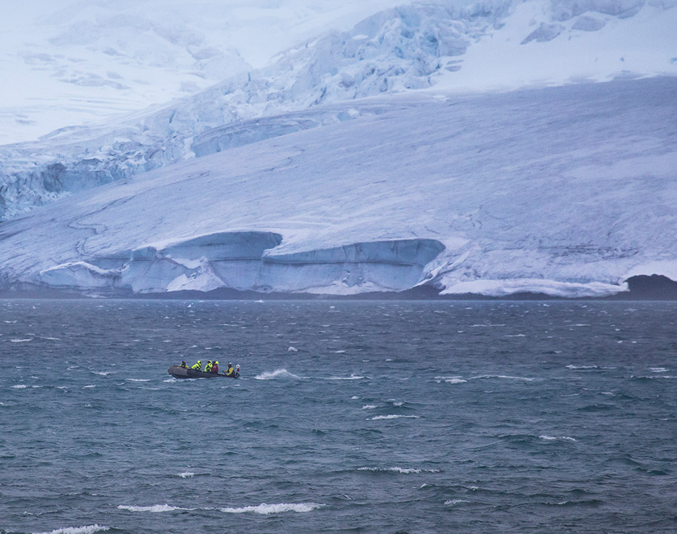
Polar ecosystems
Polar organisms and microbiomes reveal biological responses to cold, seasonality and accelerated environmental change.
What gentoo penguin DNA revealsMarkers indicate areas of activity, not exact sampling sites.
Satellite imagery and topography: Esri and its data contributors. Elevation: Mapterhorn. Basemaps require an internet connection. Photographs and texts come from the CRG archive. The polar marker provides regional context, not the full extent of Southern Ocean research. Mapterhorn · Esri
3D terrain uses measured elevation with a 25% vertical enhancement for readability.
How to read the atlas
Altitude, temperature, salinity and ecological relationships define the questions that can be asked.
Samples, genomes, observations and publications document each research process.
Projects, teams and communities connect local work with national and international networks.